9 Navigation Apps Compatible With Your Toyota
Are you looking for a better way to find the best route to your next location? With the help of Apple CarPlay and Android Auto, you can use some highly-rated navigation apps compatible with your Toyota – whether you drive a RAV4, Tacoma, or Corolla.
We’ve picked the top nine navigation apps that are compatible with your Toyota vehicle. We also touch on the Toyota navigation app, which has some unique benefits.
1. Waze
Overview
Waze is a community-driven navigation app that was created by an Israeli company and then was acquired by Google in 2013. Waze relies on real-time data from other users to determine the best route. It takes into account traffic jams, accidents, construction, speed traps, and additional obstacles to determine the fastest path. Users can also store a friends list to see where others are currently located.
Waze is one of the most popular community-based apps, and it’s available with both Apple CarPlay and Android Auto. In 2022, 9.12 million people used this navigational app.
Benefits
- View local gas prices on the map
- Speed limit information available on the map
- Alternate routes pop up when a faster path can be taken
- Save favorite destinations to make route-planning faster
- Report traffic, construction, and other obstructions to help other drivers
- Request roadside assistance for other Waze users
- Allows you to avoid dirt roads
Drawbacks
- Not compatible with steering wheel microphone button
- Must use in-app microphone for voice control
- Requires an active data connection
2. Apple Maps
Overview
Apple Maps is the default map program for iOS. It comes pre-installed on every iPhone. Apple Maps provides directions and the ETA, but it’s only available with Apple CarPlay. It cannot be used with Android Auto.
Benefits
- Turn-by-turn directions
- Voice navigation
- 3D map view
- Live weather predictions at the destination site
- Fastest route is determined by traffic, time of day, and location
- Works with car’s controls
Drawbacks
- Requires an internet connection
- Location services must be turned on
- Estimated travel time isn’t always available
- Suggests destinations based on user’s emails, texts, and frequent locations, which is a drawback if you want privacy
- Can’t be used with Android
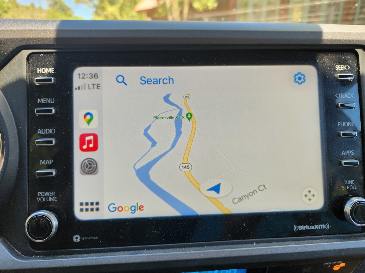
3. Google Maps
Overview
Google Maps was first started as a C++ desktop program and was acquired by Google in 2004. It provides real-time navigation and traffic information for millions of locations. You can use it with Apple CarPlay or Android Auto.
Benefits
- Different map views to choose from: satellite imagery, 360-degree interactive panoramic views, and street maps
- Real-time traffic
- Turn-by-turn directions
- Search destinations by voice or keyboard
- View nearby businesses that match the category of the destination
- Add stops to the route
- Day or night themes that change the map color based on the time of day
Drawbacks
- Must have internet connectivity
- Stores data – creating privacy concerns
4. InRoute
Overview
inRoute is a navigational app that allows you to choose optimal routes. It’s used often for deliveries because of its versatility and ability to add many stops. There are also interactive features, such as charts showing elevation and curves. This app is available with Apple CarPlay.
Benefits
- Edit routes with voice command
- Ability to reverse the route
- Search along the route for restaurants, hotels, and fuel stations
- Export the route to other navigation apps, such as Waze, Google Maps, and Apple Maps
Drawbacks
- Can’t tap directly on the location pins (must use the pins tab to edit)
- Some features require the Pro subscription
- The interface is confusing for some users
(inRoute)
5. TomTom Go
Overview
With this app, you can turn your compatible phone into a TomTom device. It provides live traffic data, speed camera locations, and offline maps. There’s an option to find parking and costs. Use this app with either Apple CarPlay or Android Auto.
Benefits
- Weekly updated maps
- Speed alerts
- Real-time traffic
- Alert of blocked roads
- Add vehicle dimensions for clearance guidance
- Offline maps save mobile data
- Share ETA with family and friends
Drawbacks
- Minor inaccuracies that can’t be corrected (as you can with Waze)
- Requires paid-for subscription plan
(TomTom)
6. Sygic GPS Navigation
Overview
Sygic GPS Navigation & Maps receives monthly updates and provides offline maps, along with live data and speed camera alerts. The maps are high-quality and provide 3D viewing. It’s available with both Apple CarPlay and Android Auto.
Benefits
- Offline maps that are updated monthly, so you can store maps to use without an internet connection
- Speed limit change warnings
- Predicative routing forecasting traffic
- Lane assistant helps drivers switch lanes with real-time traffic information
- Real-time route sharing
- Wrong way warning
Drawbacks
- Maps are not updated as frequently as some other programs
- Most features require a paid-for subscription
(Sygic)
7. A Better Routeplanner (ABRP)
Overview
ABetterRouteplanner is a top choice among EV users because of the route planning options with charging stations. It’s also a popular app for Canadian drivers. It is available with both Apple CarPlay and Android Auto.
Benefits
- Trip plan with vehicle model specifics, calculating accurate charge stops
- Continuously updates information for the trip
- Live weather data
- Real-time traffic
- Real-time charger availability
- Share driving status with loved ones
- Notification when charging is nearly complete
Drawbacks
- Doesn’t have great reviews, with people complaining about inaccuracies and missing charging stations
- Apple CarPlay and Android Auto connectivity is considered premium – costing money
(ABRP)
8. Yandex Navigator
Overview
Yandex Navigator is a free app that helps you plot out a route, find parking spaces, and view trip statistics. It offers up to three different route variants to a destination. However, this app is only available with Android Auto.
Benefits
- Speed limit warnings
- Speed camera warnings
- Mobile fuel payment from the car
- Search for parking lots and examine prices
- Offline navigation when downloading maps
- Alert you if the route chosen has toll roads
Drawbacks
- Not used often in the United States because of a lack of online data
- App contains advertisements
(Yandex)
9. Toyota’s Navigation App
Overview
Scout® GPS Link App gives you turn-by-turn directions on your Toyota’s touchscreen display. It also gives audio directions to make navigation easier. It doesn’t run through Apple CarPlay or Android Auto because it’s a standalone navigation app. You purchase it as an add-on feature when you purchase a Toyota.
To see if your Toyota has this navigation app, hit the “Map” button when Apple CarPlay or Android Auto is disconnected. It will say, “The Navigation App is not installed” if you don’t have it. We have an article about the Toyota Navigation App Not Installed message if you want to learn more.
Benefits
- Gives turn-by-turn directions
- Real-time traffic updates
- Database includes points of interest, making it easy to search for businesses or landmarks
- Designed to work with a Toyota touchscreen display
- Get directions even while using other apps
Drawbacks
- Must have the app downloaded to your smartphone
- Mapstream mode only available in select 2018 vehicles with Audio and Audio Plus
- Utilizes phone data plan
How to Setup the Apps
Before getting started, you want to ensure the navigation app is already downloaded to your compatible device. Once you’ve done that, you can move through the other steps to connect through Apple CarPlay and Android Auto. These instructions can be found in your owner’s manual, but here are some basic steps to consider.
Apple CarPlay
- Connect your phone with the cable to the USB media port
- The prompt on the touchscreen display asks you to enable the connection
- Select the Menu button on the screen
- Touch the Apple CarPlay icon and select the navigation app you wish to use
Android Auto
- Connect your phone with the cable to the USB media port
- Open the Android Auto app on your phone (Android 9 or older may require a manual install)
- In the phone app, tap Get Started or Connect a Car and follow the instructions
- On the Multi-Information Display (MID), a prompt will appear to turn it on
- On the menu screen, tap Android Auto and select the navigation app you wish to use
When you first purchase your Toyota, the dealership can help you set up the navigation, along with Apple CarPlay and Android Auto.
(Toyota Apple CarPlay YouTube, Toyota Android Auto YouTube)
Most Popular Choices Among Owners
It’s simple to find out what Toyota owners prefer to use. One quick look online at various forums reveals some interesting information. Let’s take a quick look at some of the data.
A Reddit poll with nearly 400 votes reveals that the most popular option with CarPlay is Apple Maps. This is closely followed by Google Maps and Waze.
User Ok_Negotiation3024 says, “Apple Maps user here. Not because I’m a fanboy, but because it gives me better routes. Not saying it is perfect. Wish the guides feature was supported better on Car Play. But easy enough to start navigating on the phone.”
Additionally, user ermax18 adds, “The presentation and integration is so much better in Apple Maps but I can’t go without the speed traps in Waze.” However, this user may not be aware that speed traps are also available in Apple Maps, so it would probably be the top choice once this information became known.
There’s also a Reddit poll for Android Auto users that received 1,800 votes. In this evaluation, the top choice was Google Maps, followed by Waze and Tom-Tom AmiGO.
In this evaluation, user Pacocar8 states, “Waze all the time, Google Maps is mostly to find something like restaurants and local places to get the address and go with Waze. Google Maps has terrible radar detection system. Waze is a bit better but I also open RadarBot alongside with Waze to warn about speed cameras and hazards.”
User Fridgelover280 also states, “I mostly use Google Maps, though when I had a Tom-Tom satnav device before, I remember the lane guidance was pretty good.”
We’ve noticed with these polls and online forums that iPhone users prefer Apple Maps, and Google Maps comes in second place, while Android users tend to like Google Maps as the primary navigation device. However, Waze also seems to be a top contender with both.
The best way to figure out what works for you is to try multiple options.
Frequently Asked Questions
Never Get Lost Again
With the right navigation app, you can take charge of your next commute or vacation. Depending on your needs, you may find that one navigation app suits you better than another. With the help of Android Auto and Apple CarPlay, it’s easy to use most mainstream navigation apps in your Toyota.
Like some of the users we quoted above, you may find different apps are good for varying purposes. This may lead you to use one app during certain drives and another for unusual circumstances. It’s okay to use multiple apps if you find different uses for them.